

It looks like most of us will be having a mild time of it when it comes to the weather over the next few days, according to Met Eireann.
Forecasters predict that it will stay relatively mild going into the middle of next week, but they do expect things to cool down later on in the week.
It seems Monday will bring the highest temperatures with 16C possible in the “prolonged spells of afternoon sunshine”.
Coming back to Saturday, the eastern half of the country will have to be content with temperatures of only 11C to 13C, while the west will bask in the mainly dry and sunny conditions which will raise the mercury up to a possible 15C.
The east will also have to contend with cloudy, misty conditions bringing drizzle, but these will be replaced by good dry intervals later with just a few scattered showers.
Saturday night will bring in more cloud from the west, meaning some scattered outbreaks of rain will spread from the Atlantic coast eastwards overnight. However, the cloud will keep away the frosts as the temperature will reach a low of 4C to 7C only.
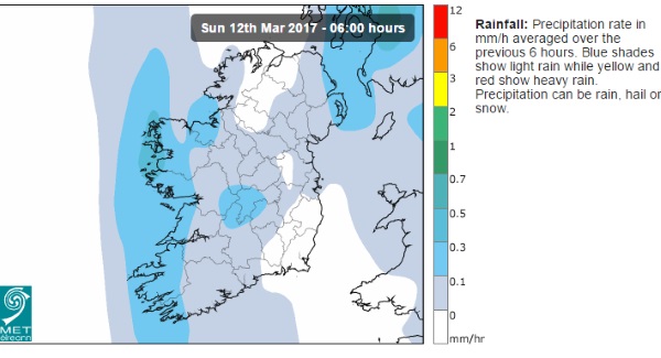
Sunday morning will see the rain and cloud clearing to give us another bright day with sunny spells, with the west getting some passing showers. However, temperatures will only reach 9C to 12C as the winds pick up.
A change in the wind direction can have a big difference on the temperatures. Feeling fresher for all on Sunday pic.twitter.com/Hmr0fvrM1C
— Met Office (@metoffice) March 10, 2017
The mercury will fall to between 0C and +3C on Sunday night and this, coupled with the light winds and clear skies, could mean motorists scraping the frost from their windscreens on a chilly Monday morning.
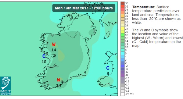
The sunshine will brighten up your start to the week though, giving most of us top temperatures of 12C to 15C, with some areas stretching to 16C as the sun continues to shine in the moderate southwesterly breeze.
Tuesday will continue very mild, especially in the south and east but cloud will mean hazy sunshine and some patchy outbreaks of rain in the north and west. Again, temperatures will reach a high of 12C to 15C in the light to moderate southwest breeze.
GFS12z follows recent runs showing colder air moving down from the north west next Thurs / Fri https://t.co/MmKPcVtjlR pic.twitter.com/sbKWsL4U2p
— TheWeatherOutlook (@TWOweather) March 10, 2017
It looks like we will hang on to the milder weather on Wednesday, but Thursday could mean an end to the mild conditions with cooler and more unsettled weather on the way.
Just in time for St Patrick’s Day.
Still early days, but with a a week to go it looks like much of Ireland will escape the rain for St Patrick's Day. Stay tuned. pic.twitter.com/GXIVtIEEP1
— Barra Best (@barrabest) March 10, 2017
